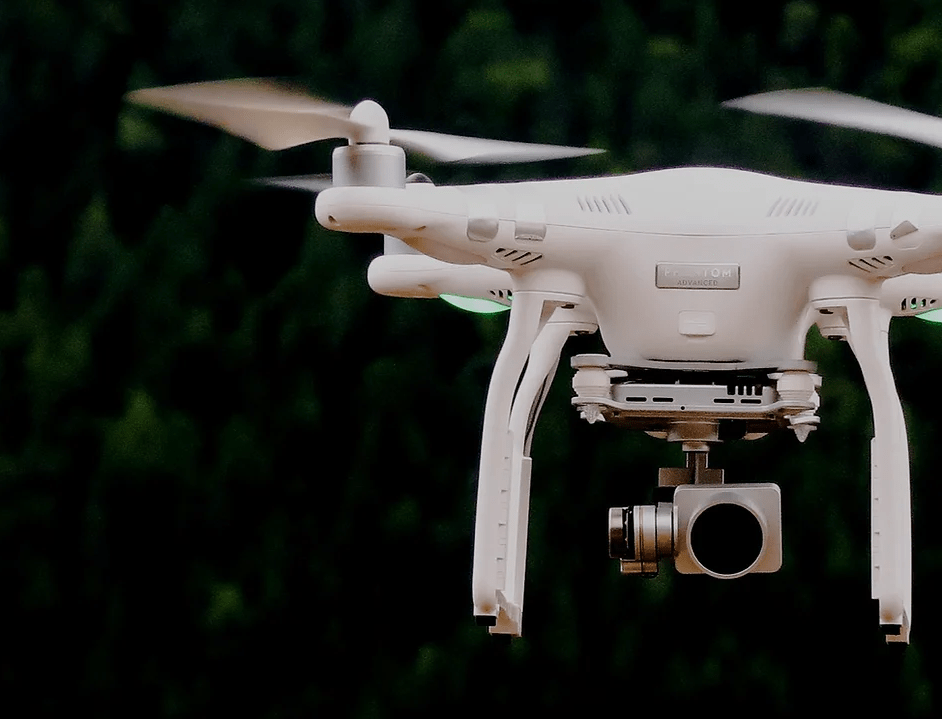
UAV AERIAL
IMAGERY
We provide state of the art aerial imagery suited for agriculture requirements.
We facilitate farmers with the latest tools and technology available to give a bird’s-eye view of their plantation.
SCOPE OF OUR SERVICES
DATA ACQUISITION – UAV IMAGE AND PROCESSING
Data collection from our UAV are processed in high quality HD.
DIGITISATION FIELD MAP
We are able to digitise the entire land map.
PALM COUNT
Our state of the art UAV will be able to do a palm count on selected areas.
CONTOUR MAPPING
DA topography map, which shows valleys and hills, and the steepness or gentleness of slopes.
GCP
In an aerial mapping survey, GCPs are points which the surveyor can precisely pinpoint: with a handful of known coordinates, it’s possible to accurately map large areas.